Call Realty Richmond: 804-442-7577
Contact Realty Richmond
4015 Harpers Road, Mc Kenney, VA 23872 (MLS # 2625054)
 Request More Info
 Schedule a Showing
 Share
Share
 Print
Print
|
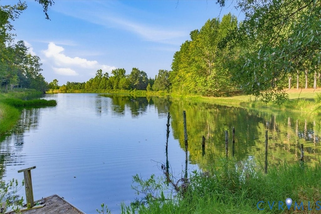
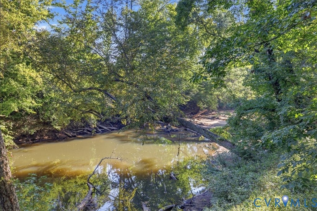
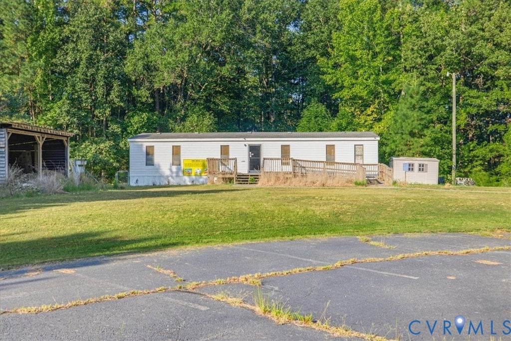
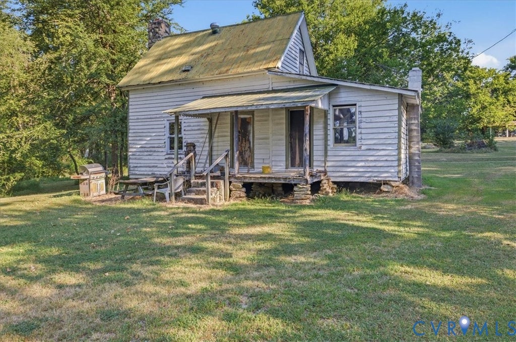
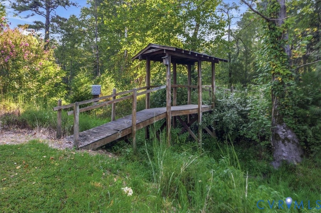
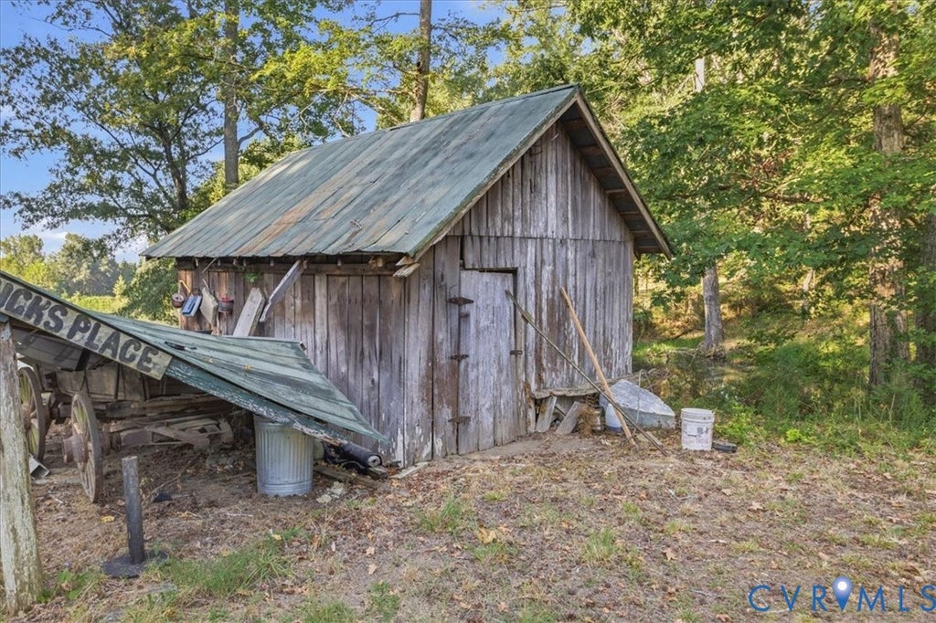
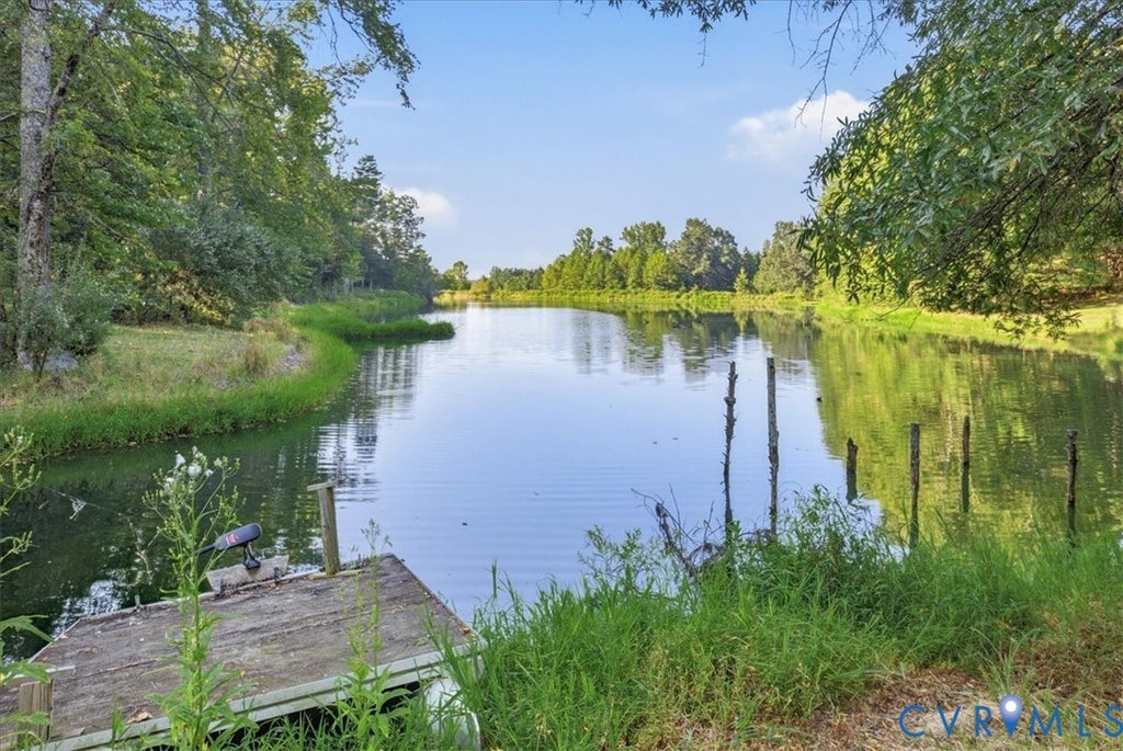
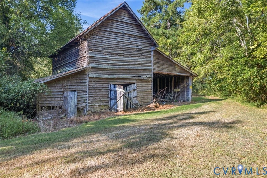
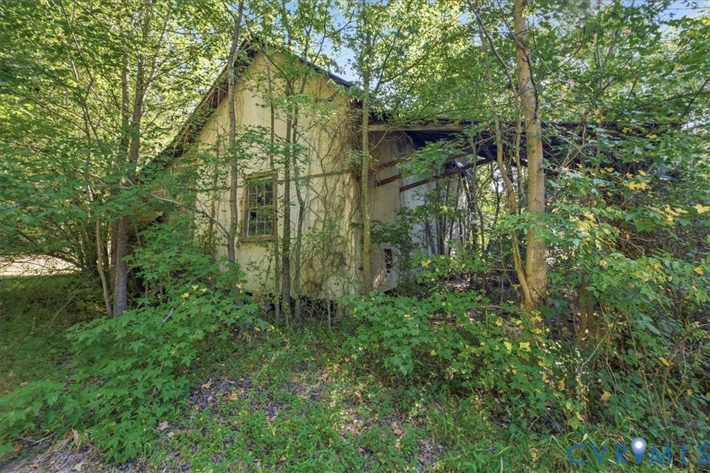
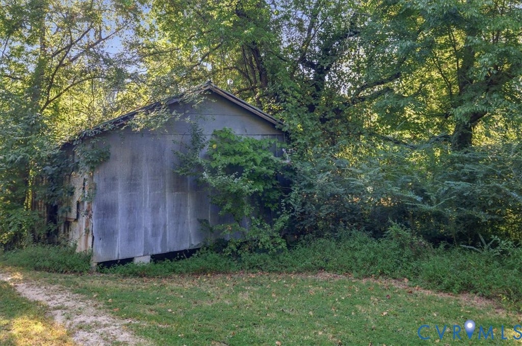
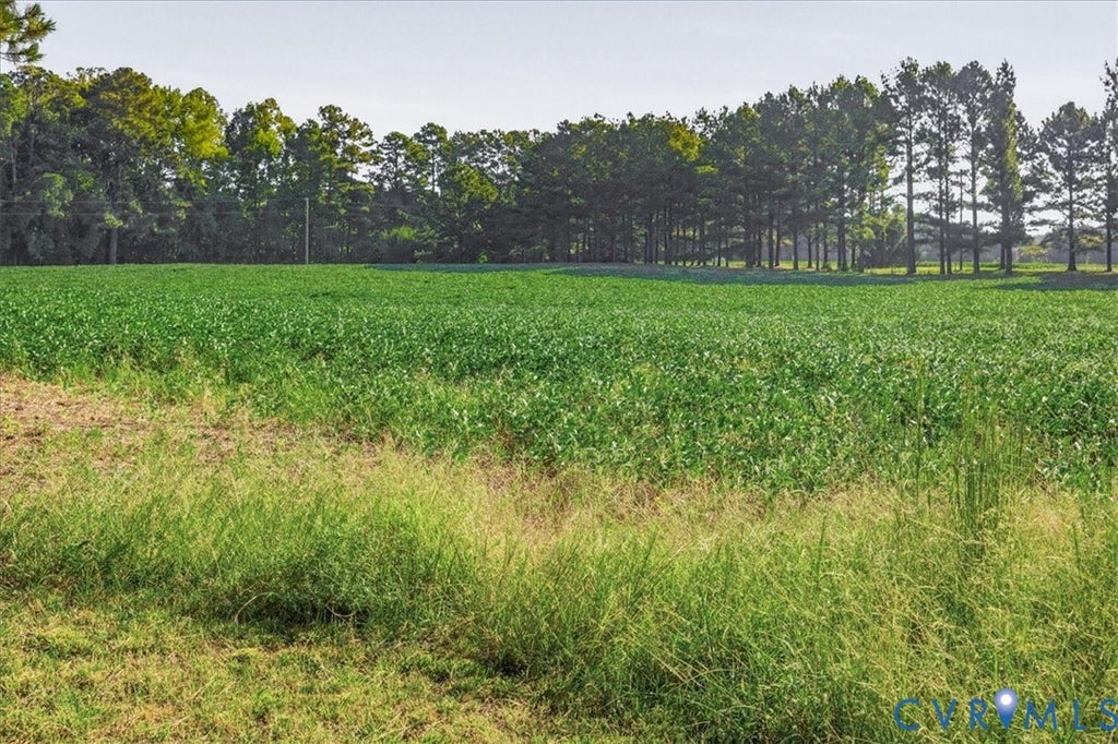
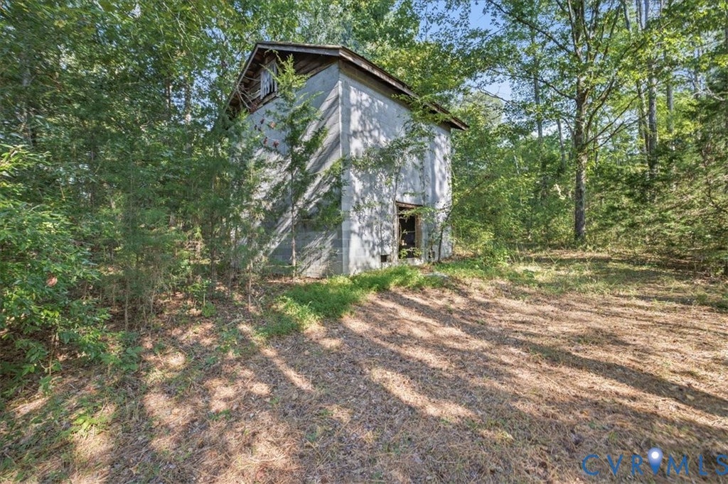
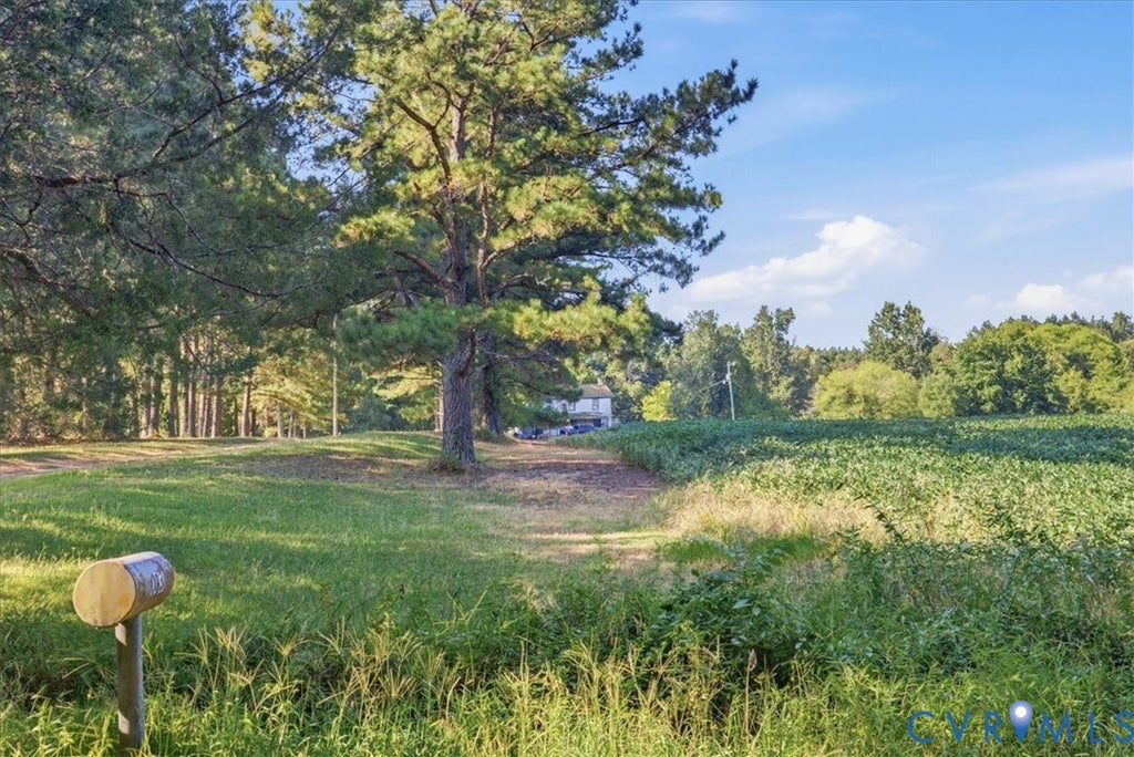
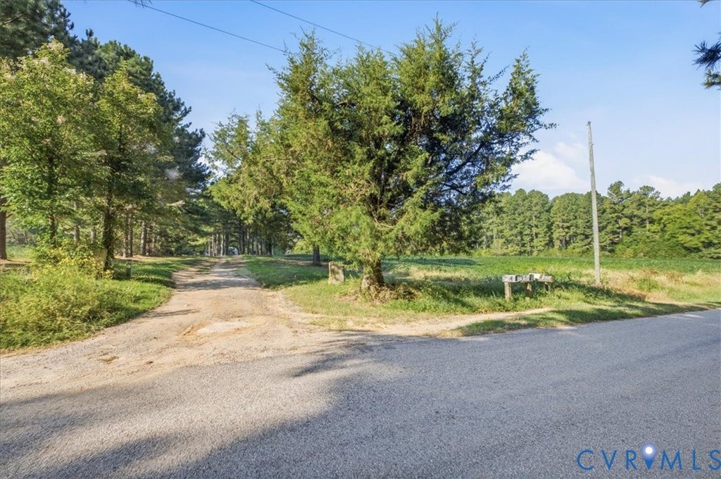
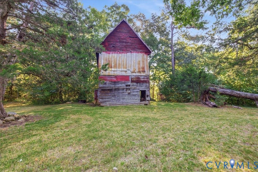
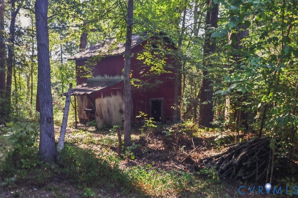
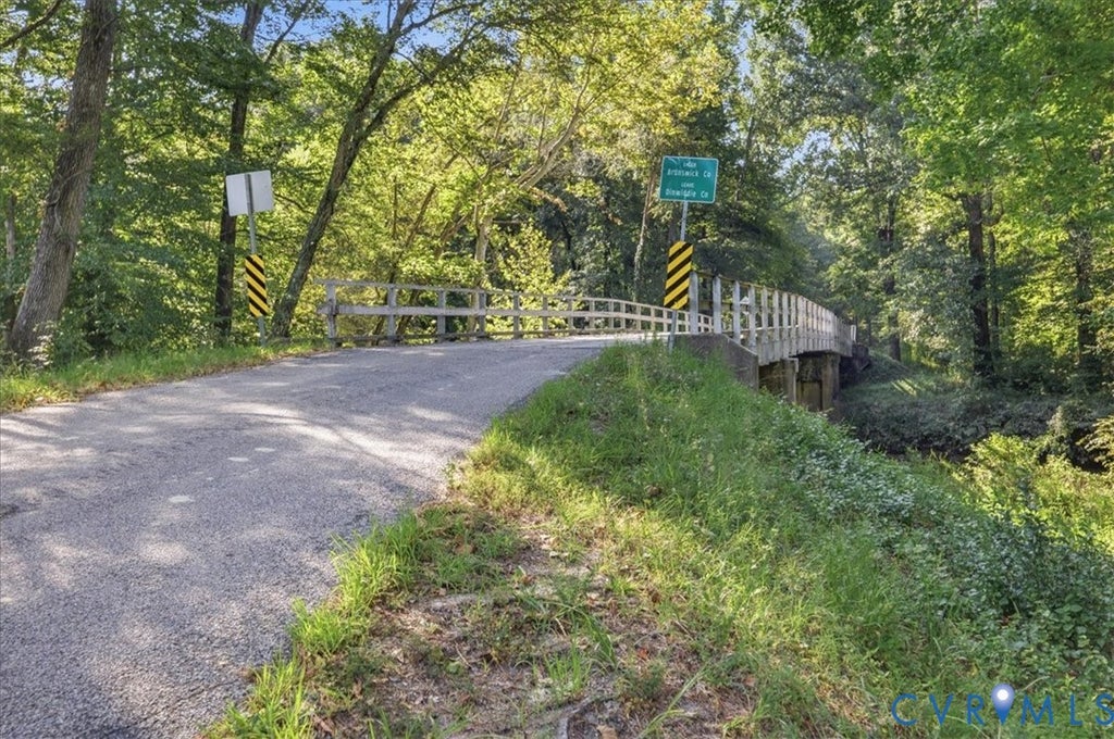
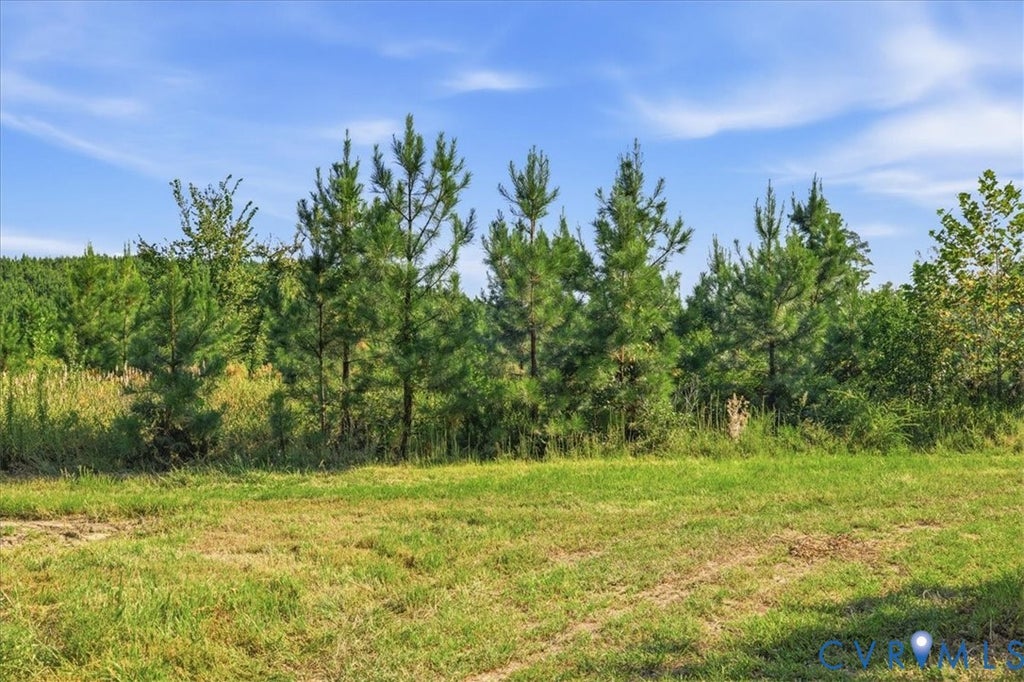
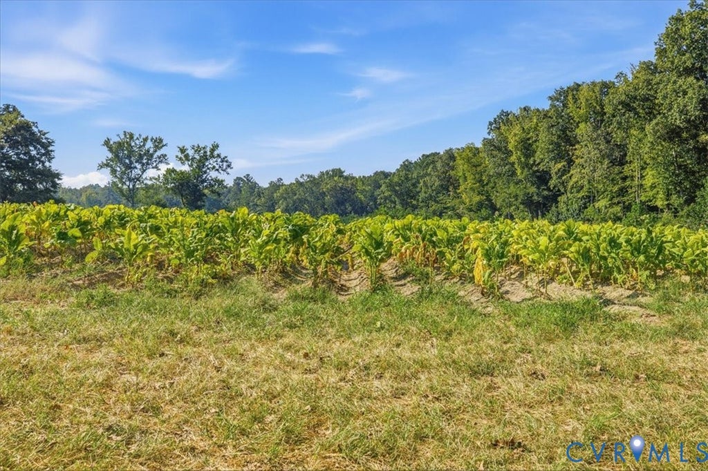
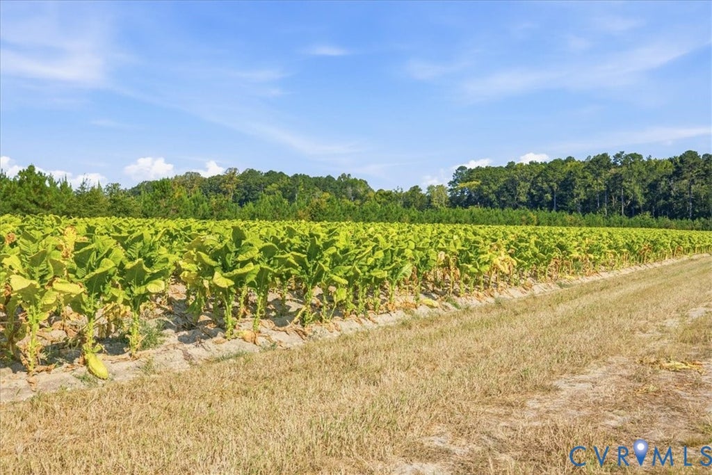
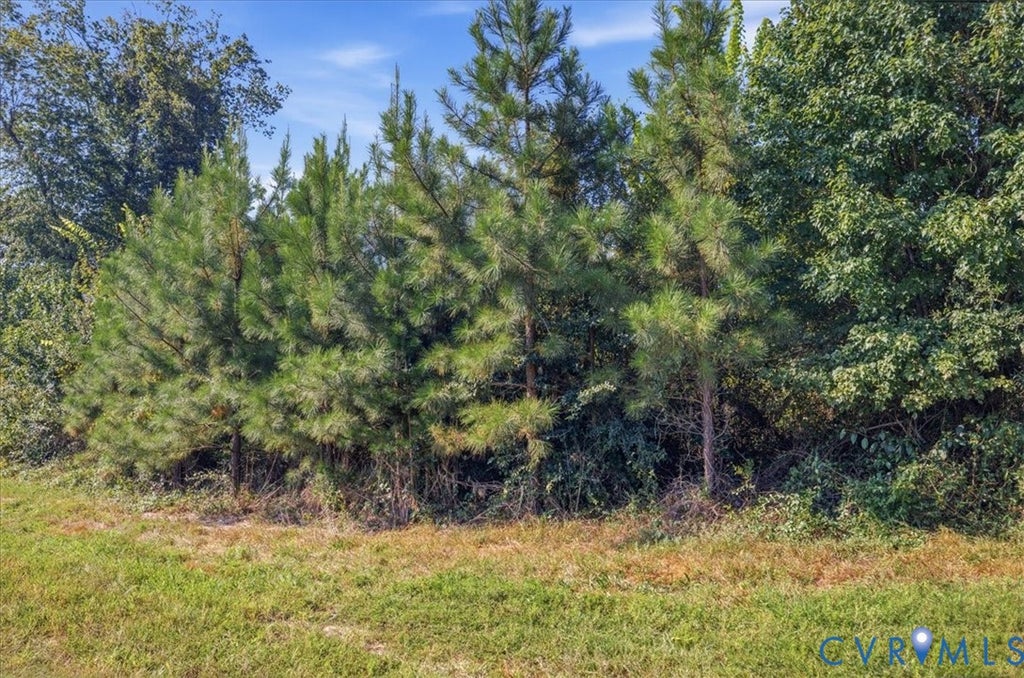
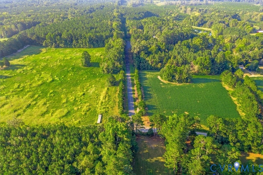
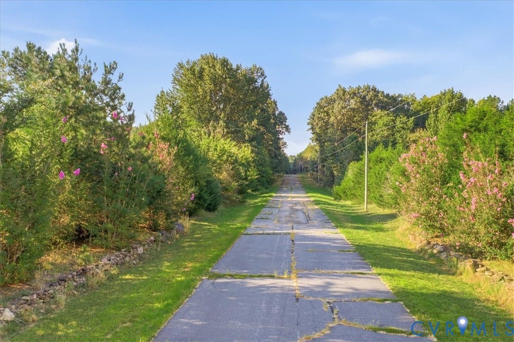
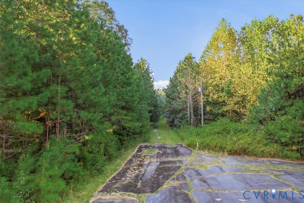
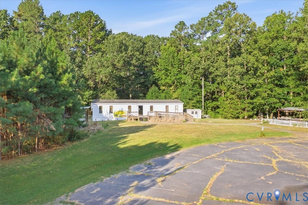
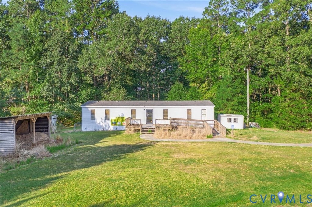
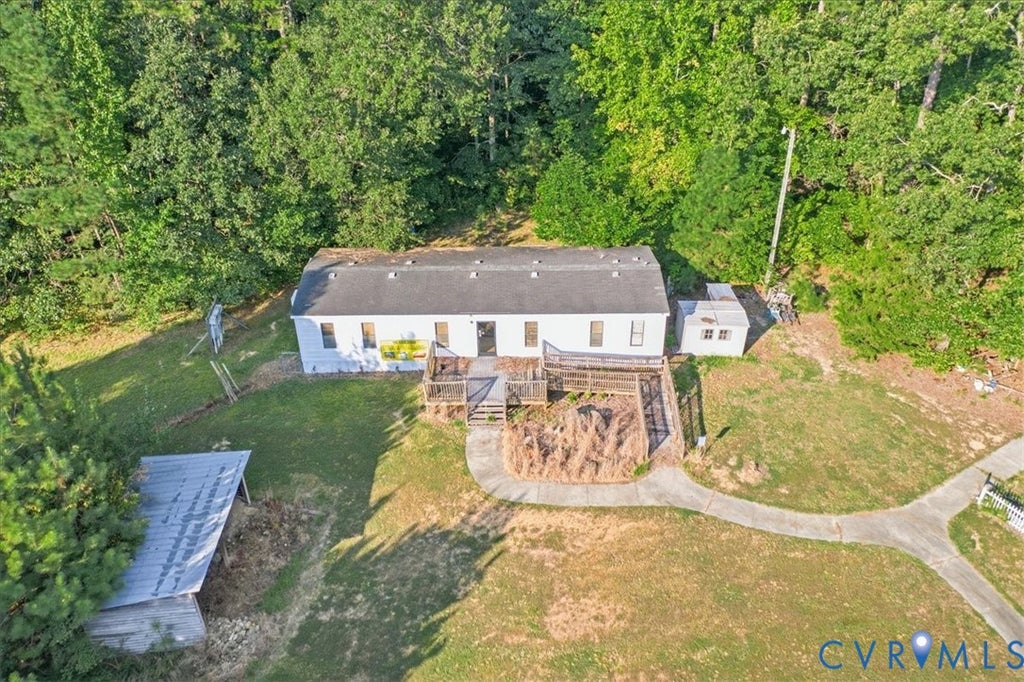
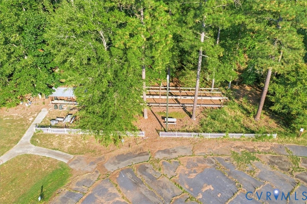
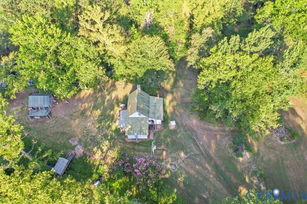
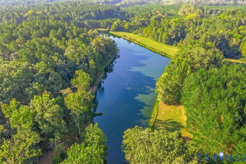
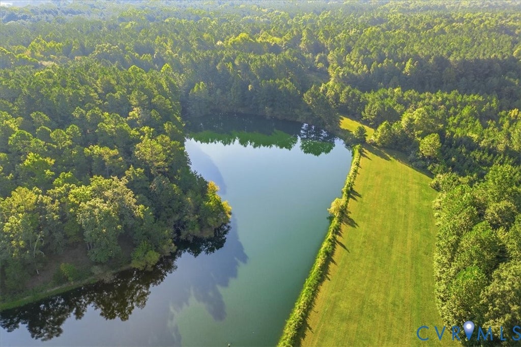
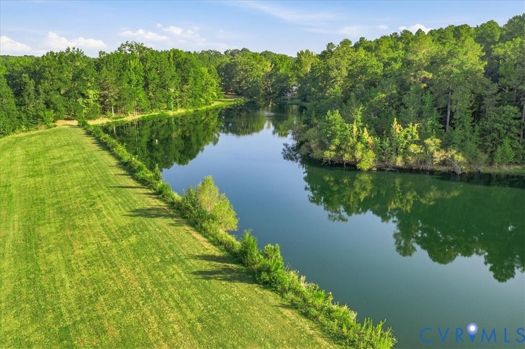
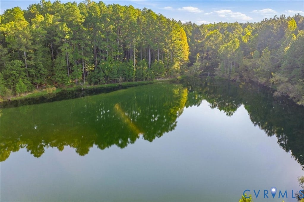
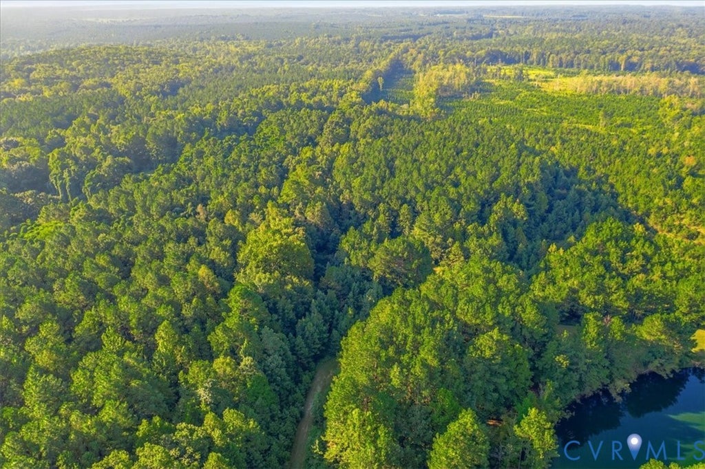
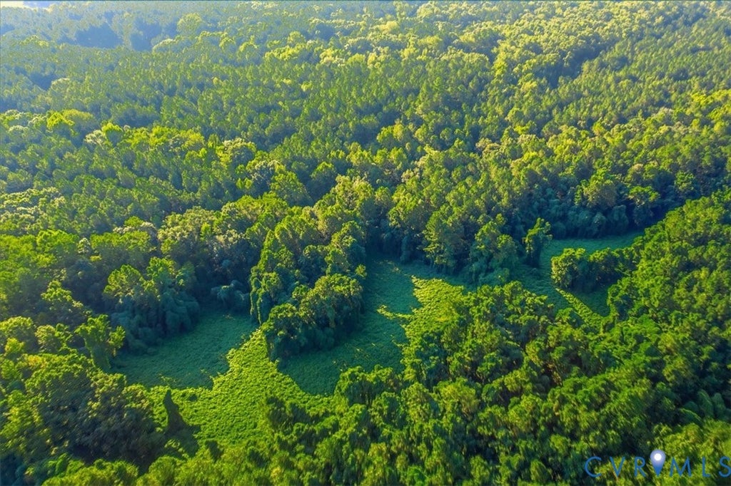
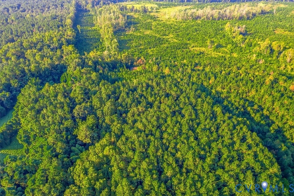
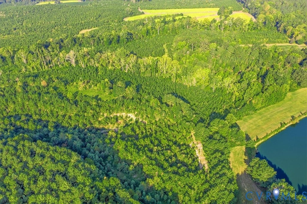
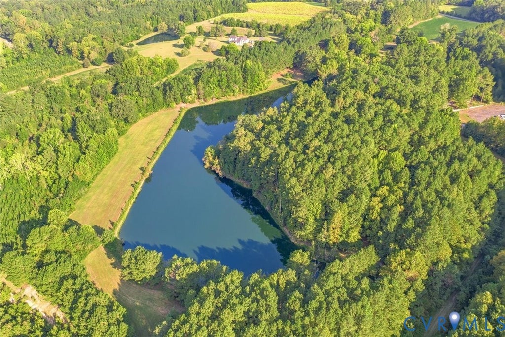
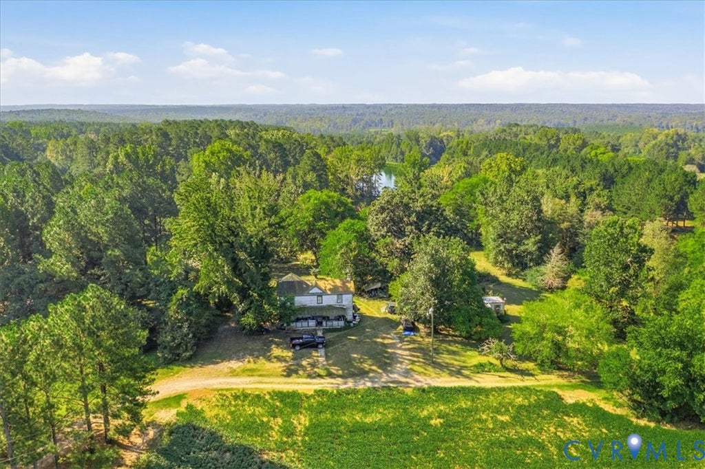
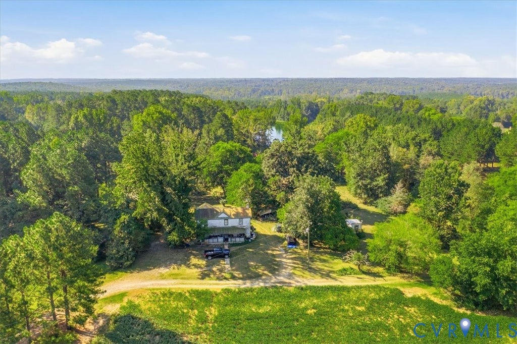
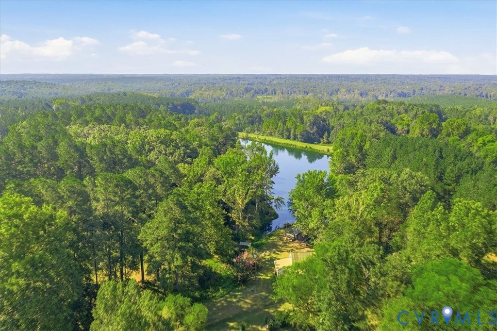
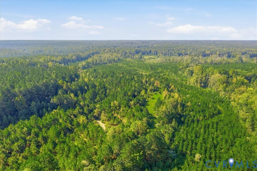
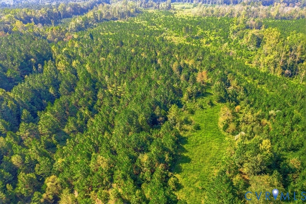
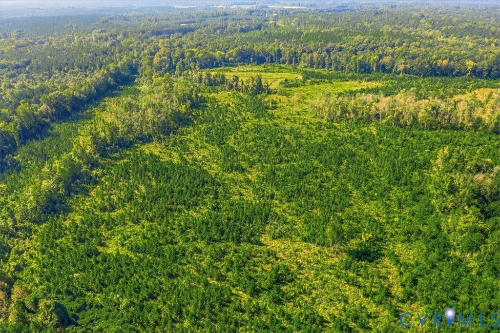
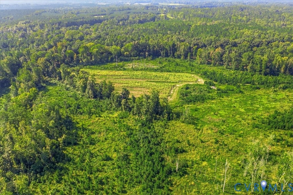
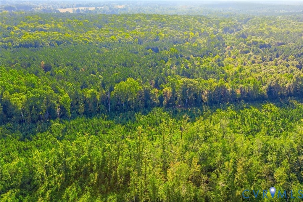
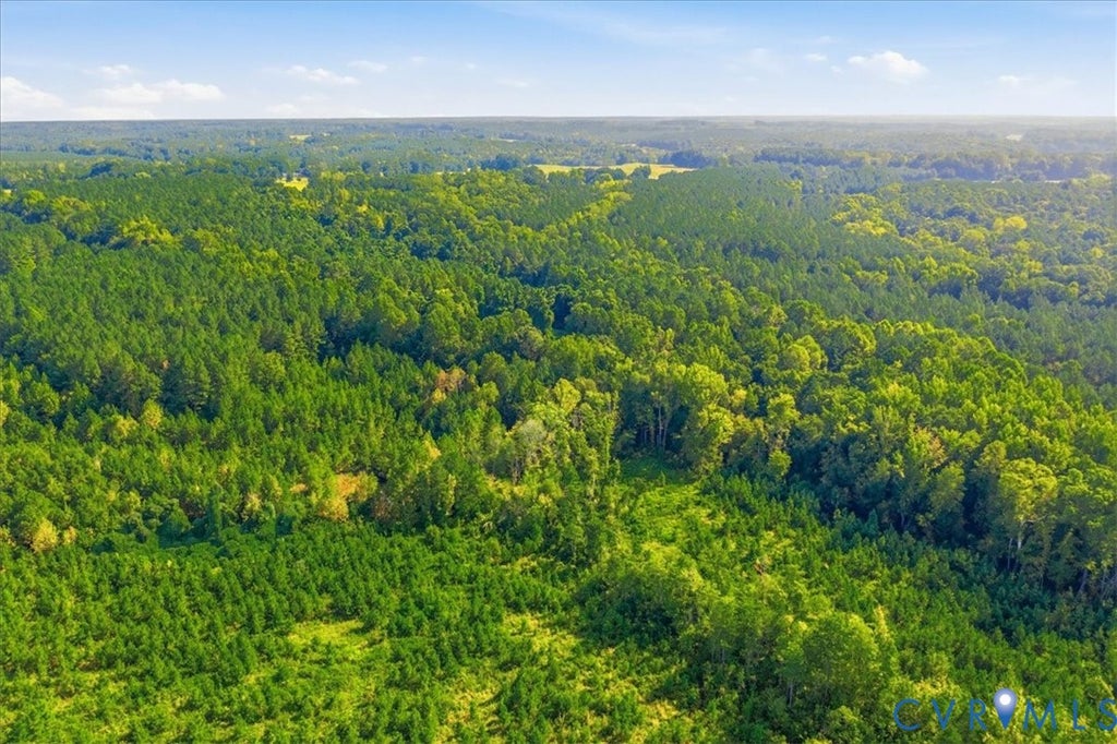
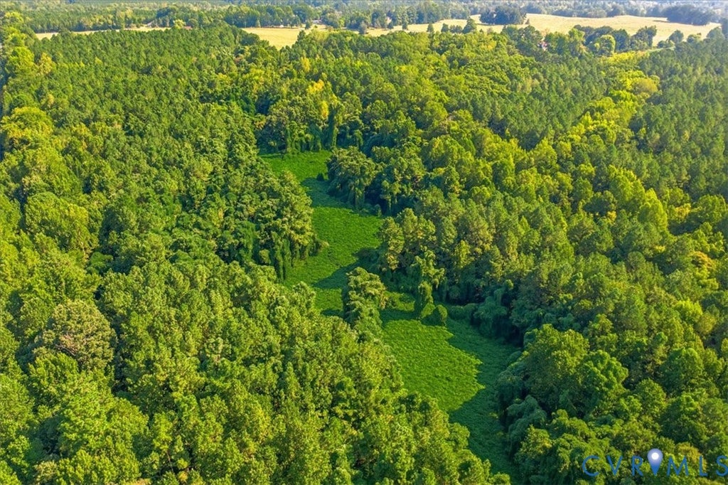
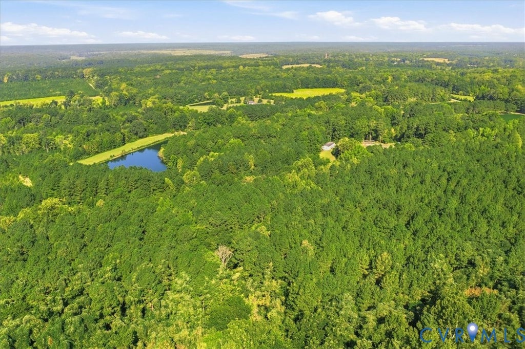
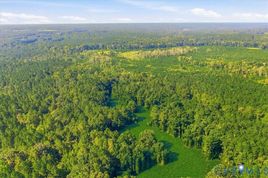
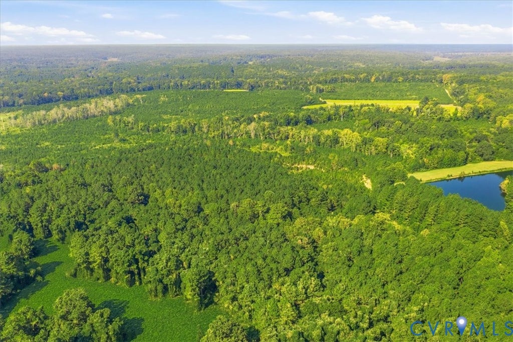
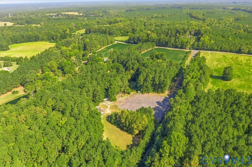
Rare opportunity to own approximately 272.8 acres across three parcels of approximately 220.8, 50, and 2 acres. The property offers approximately 2,651 feet of road frontage along Gills Bridge Road and approximately 1,054 feet along Harper Bridge Road, measured along the road centerlines, along with an estimated 2,500 feet along the centerline of the Nottoway River. A paved drive leads into this expansive property featuring agricultural land, recreational acreage, a stocked pond, and Nottoway River frontage. Once part of Harper's Plantation, the property includes historic quarters dating to the 1800s, most recently used as a hunting and fishing cabin. Additional structures include a two-story house, two tobacco barns, a large barn, and a manufactured building formerly used as an office and shop for a recreational mining operation. A recreational mining company operated on portions of the property through 2025, and flumes and a catch pond remain. Garnet, amethyst, diamond, silver topaz, aquamarine, potassium feldspar (peach moonstone), and several varieties of mica have reportedly been found on the property. Outdoor and recreational features include a stocked pond of more than five acres with bass, catfish, and blue gill, along with opportunities for hunting and fishing. Approximately 28 acres are currently leased as farmland, and portions of the property were timbered in 2020. The property is served by two wells and septic systems. One well is a deep well installed approximately five to six years ago, with the pump replaced approximately one year ago. Electrical service is available at the office/shop area, two-story house, and historic cabin. With substantial acreage, river frontage, agricultural use, recreational opportunities, multiple existing structures, and a unique history, this is a distinctive property with a wide range of possibilities. All structures and improvements convey "as-is."
Property Type(s):
Lot/Land/Acreage
| Last Updated | 9/16/2026 | Tract | None |
|---|---|---|---|
| Year Built | 0 | Community | 61 - Dinwiddie |
| County | Dinwiddie |
SCHOOLS
| Elementary School | Sunnyside |
|---|---|
| Jr. High School | Dinwiddie |
| High School | Dinwiddie |
Additional Details
| AREA | 61 - Dinwiddie |
|---|---|
| BARN/EQUESTRIAN | Yes |
| LOT | 272.8 acre(s) |
| LOT DESCRIPTION | Cleared, Waterfront, Wooded |
| SEWER | Septic Tank |
| SUBDIVISION | None |
| TAXES | 1276.15 |
| UTILITIES | Natural Gas Available, Electricity Available |
| WATER | Well |
| WATER ACCESS | Lake/Nottaway River |
| WATERFRONT | Yes |
| WATERFRONT DESCRIPTION | River Front, Lake, Waterfront |
| ZONING | A2 |
Location
Contact us about this Property
| / | |
| We respect your online privacy and will never spam you. By submitting this form with your telephone number you are consenting for Realty Richmond to contact you even if your name is on a Federal or State "Do not call List". | |
Listed with Real Broker LLC
All or a portion of the multiple Listing information is provided by the Central Virginia Regional Multiple Listing Service, LLC, from a copyrighted compilation of Listings. All CVR MLS information provided is deemed reliable but is not guaranteed accurate. The compilation of Listings and each individual Listing are ©2026 Central Virginia Regional Multiple Listing Service, LLC. All rights reserved.
IDX information is provided exclusively for consumers’ personal, non-commercial use, that it may not be used for any purpose other than to identify prospective properties consumers may be interested in purchasing
Last Updated: 9/20/26 2:10 PM PDT
This IDX solution is (c) Diverse Solutions 2026.
 Twitter
 Facebook
 Email
Email